- Headline
- create as many maps as you want, with interactive and colored markers, continents, countries
- Short Description
- Download and Discuss Premium, BusinessInteractive World Maps 2.5 version on NullPro Community. It is zip Extention type and 1 MB File size. From Interactive World Maps have 1 Description Attachments, 2 discussion, 2 Updates, 156 Views.

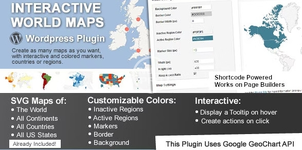
This is a Wordpress plugin to create as many maps as you want, with interactive and colored markers, continents, countries or regions.
(Check out the standalone non-wordpress version here)
You will be able to show hundreds of different kinds of maps, already included:
- A map of the entire world.
- A continent or a sub-continent. (Africa, Europe, Americas, Asia, Oceania and all their sub-continents)
- A country. (virtually all the countries in the world are included, featuring the most requested: USA, United Kingdom, Canada, France, Germany, Spain, Italy, Brazil, India, Australia…)
- A country divided by its regions. *
- A state in the United States.
- The United States divided by metropolitan areas.
- A state in the United States divided by metropolitan areas.
- As Regions – It will color the whole region, for example a continent, subcontinent, a country, a country province, or a US state.
- As Markers -It will display a colored bubble in the chosen regions, that can be a city, a state or a country.
